• Home
  • Paper version
    • First Atlas
    • Second Atlas
    • Third Atlas
  • Digital Atlas
    • Political geography
    • Landscape, rural areas and agriculture
    • Housing
    • Economic activities
    • Population
  • Resources
    • Tutorials
    • Technological informations
    • Cartographic informations
    • Map data
    • External data
  • EN
    • FR
    • EN
    • DE
    • NL
Atlas of Belgium

Atlas of Belgium

  • Home
  • Paper version
    • First Atlas
    • Second Atlas
    • Third Atlas
  • Digital Atlas
    • Political geography
    • Landscape, rural areas and agriculture
    • Housing
    • Economic activities
    • Population
  • Resources
    • Tutorials
    • Technological informations
    • Cartographic informations
    • Map data
    • External data
  • EN
    • FR
    • EN
    • DE
    • NL
  • Home
  • Welcome to the Digital Atlas of Belgium

Welcome to the Digital Atlas of Belgium

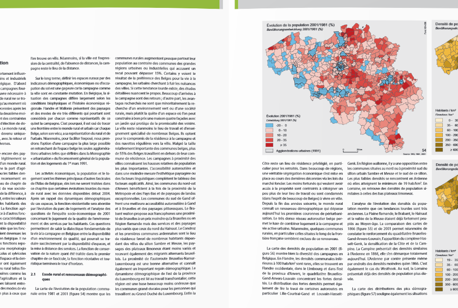
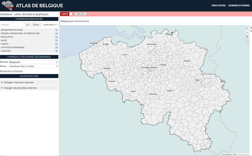
You have the possibility to navigate in different versions of the Atlas of Belgium: the old versions of the first, second and third paper Atlas, digitized versions and available in PDF format and, for some, in WMTS-layer, as well as the current digital version of the Atlas of Belgium in its version GeoclipAir, the observatory of territories with different themes and scales.
 

Digital atlas GeoclipAir
Paper atlas
logo de l'Atlas
Etienne Van Hecke

Katholieke Universiteit te Leuven
Celestijnenlaan 200e - box 2407
3001 HEVERLEE - BELGIUM

Logo de Belspo

With the support of Belspo
logo Ugeom
Unité de Géomatique

Université de Liège
Quartier AGORA - B5a
Allée du 6 Août, 19
4000 LIEGE - BELGIUM

Website: Geomatics Unit - ULg | Powered By WordPress and Hasten Lite